

The Appalachian Trail near Front Royal offers short day hikes as well as longer routes toward Shenandoah National Park. You can compare distances and difficulty, then check the access details for your chosen trailhead before setting out.
- Front Royal is an Appalachian Trail community.
- Compton Gap to Compton Peak: 2.4 miles, moderate.
- Possum’s Rest: 1.4-mile round trip, moderate/easy.
- Route 522 to Manassas Gap: 8.5 miles.
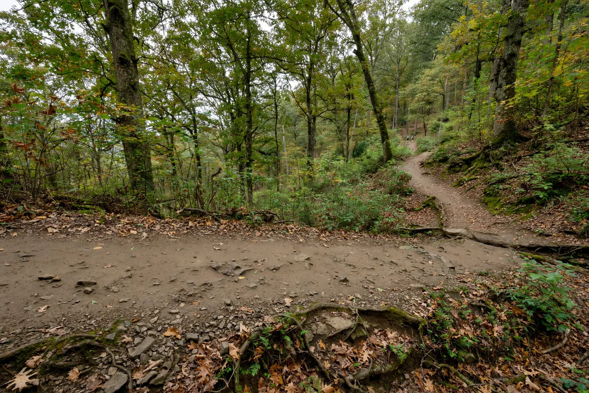
Find a suitable trail access point
Trail access points near Front Royal include Route 522, Manassas Gap, Compton Gap and the end of Route 610. Front Royal, home to Relax Inn in Front Royal, is an Appalachian Trail community, and the Appalachian Trail Conservancy describes hiking and backpacking options in the area.
For a short out-and-back, Possum’s Rest starts at the parking lot at the end of Route 610, also known as Chester Gap Road. To reach the trailhead from Front Royal town center, take U.S. Route 522 south for 4.3 miles, turn right onto Route 665, then right onto Route 610.
Compton Gap is another access point, inside Shenandoah National Park at Skyline Drive milepost 10.4, south of Front Royal. The park’s Front Royal Entrance Station is at mile 0 of Skyline Drive, reached near Front Royal from Route 340 and Route 66.
If your plans include more of the park, planning a Shenandoah National Park visit from Front Royal can help you put the trail into a wider park itinerary.
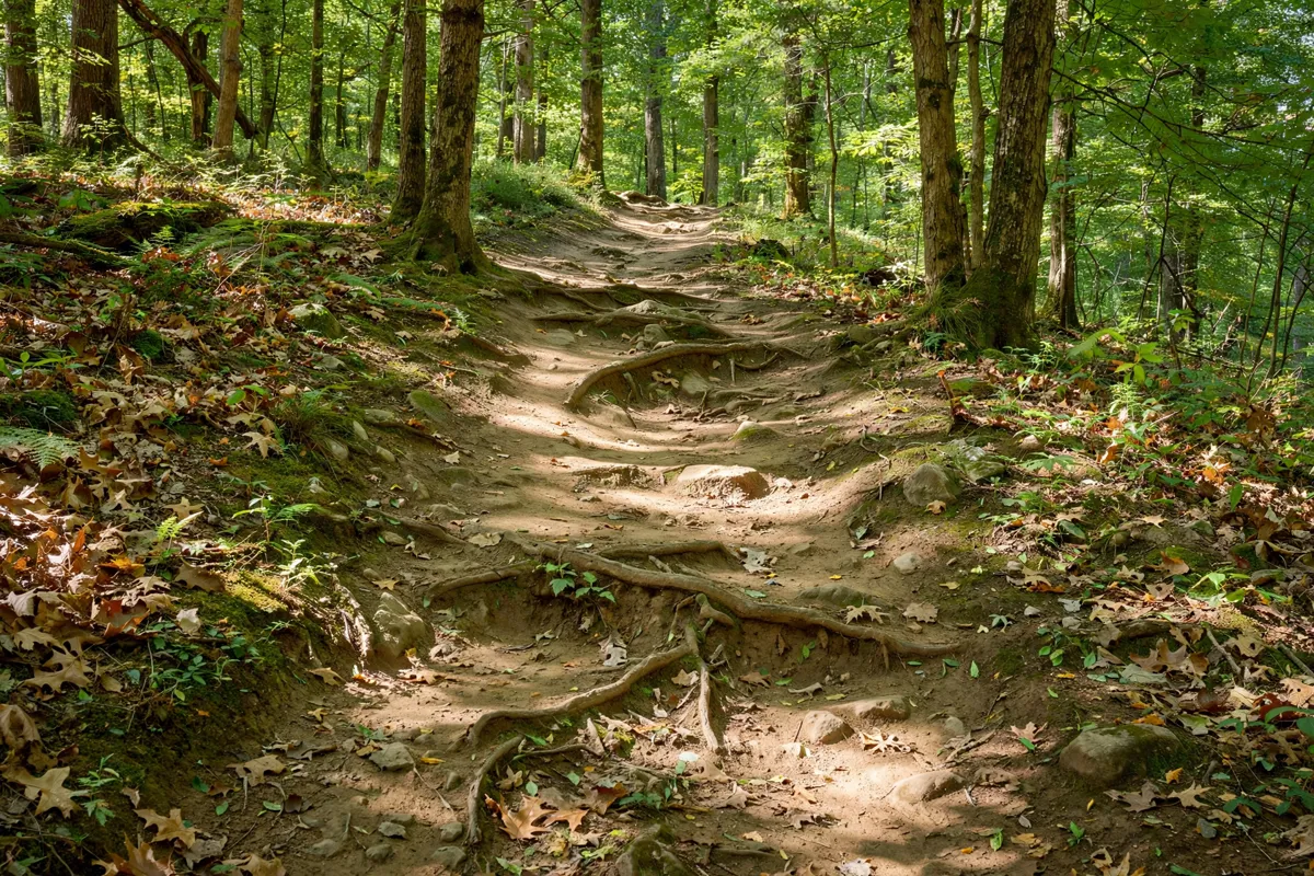
Match the hike to your day
Trail distance and difficulty can help you decide whether to choose a short out-and-back or a longer point-to-point hike. The Appalachian Trail Conservancy describes these options near Front Royal:
Possum’s Rest
This moderate/easy hike is a 1.4-mile round-trip out-and-back route. Dogs must be leashed.
Compton Gap to Compton Peak
This moderate day hike covers 2.4 miles. Its trailhead is at the Compton Gap parking area on Skyline Drive.
Browntown Trail
This moderate out-and-back hike covers 6.8 miles and has 1,750 feet of elevation change. Parking is limited to the shoulder on State Route 631, and drivers are cautioned not to continue up Old Browntown Road.
Route 522 to Manassas Gap
This 8.5-mile Appalachian Trail section runs north from the Route 522 trailhead to Manassas Gap. The route climbs up and around High Knob, then descends into Manassas Gap. Mosby Tent Site is at 3.5 miles, and Jim & Molly Denton Shelter is at 5 miles.
For a longer outing, the Conservancy describes an 11.5-mile southbound hike from Manassas Gap Trailhead Parking Lot to Tom Floyd Wayside Shelter. The shelter has a composting privy, a spring and additional tent sites. The route onward from Tom Floyd Wayside Shelter to Gravel Springs Hut is 10 miles; Shenandoah National Park begins 0.5 miles south of the shelter.
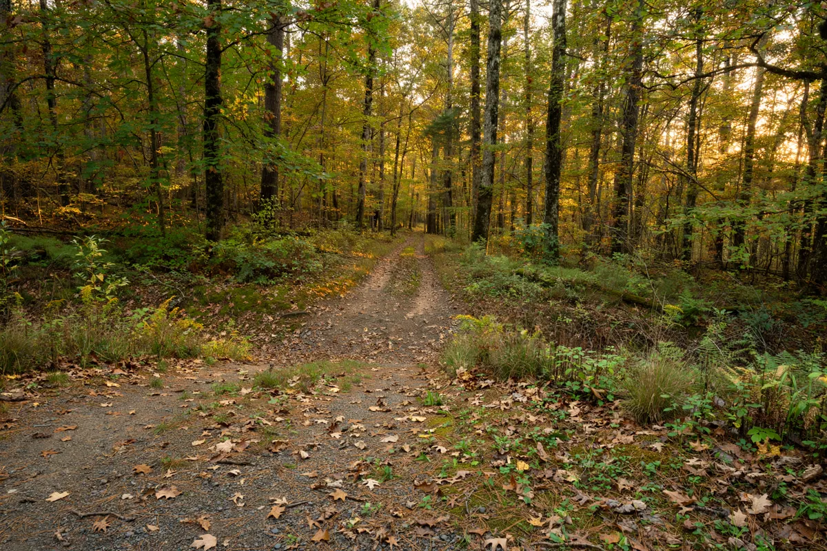
Check parking and trail conditions
Parking access at trailheads and park boundaries can change, so verify current conditions before choosing your starting point. The National Park Service describes Skyline Drive as a 105-mile road and the only public road through Shenandoah National Park. Its guide to Skyline Drive from Front Royal is relevant if you are planning to reach a trailhead along the drive.
The Appalachian Trail Conservancy advises hikers on the Route 522-to-Manassas Gap and Manassas Gap-to-Gravel Springs Hut routes to arrange return transportation before departure.
Cell service in Shenandoah National Park is spotty, so do not rely on calling for a ride at the end of a hike. Check the official site before you go: the National Park Service directs visitors to its Alerts page for park-boundary and trailhead access updates.
For Shenandoah National Park, you can pay entrance fees at an entrance station, including Front Royal, or purchase a pass in advance through Recreation.gov. Backpackers planning to camp in the park should obtain a free backcountry camping permit at the park-boundary kiosk.
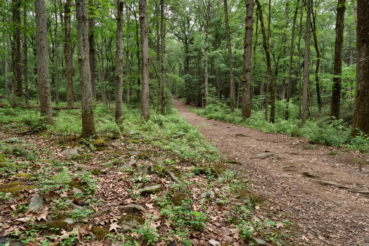
Carry the right essentials
Plan around the route you choose: a point-to-point hike requires a return-transport plan, while an out-and-back route returns to its starting point. For Possum’s Rest, remember that dogs must stay leashed.
If you are backpacking into Shenandoah National Park, obtain the free backcountry camping permit at the boundary kiosk. Before leaving a vehicle at a remote access point, secure valuables and lock the vehicle.
FAQs
Which Appalachian Trail hike near Front Royal is the shortest?
Possum’s Rest is a 1.4-mile round-trip out-and-back hike, rated moderate/easy by the Appalachian Trail Conservancy.
Where does the Compton Gap hike start?
The Compton Gap-to-Compton Peak hike starts at the Compton Gap parking area on Skyline Drive, at milepost 10.4 in Shenandoah National Park.
Do I need to arrange a ride for an Appalachian Trail hike?
For the Route 522-to-Manassas Gap and Manassas Gap-to-Gravel Springs Hut routes, arrange return transportation before departure because cell service in Shenandoah National Park is spotty.
What should backpackers know about camping in Shenandoah National Park?
Backpackers planning to camp in the park need a free backcountry camping permit from the park-boundary kiosk.