

Skyline Drive from Front Royal begins at the Front Royal Entrance Station, the northern gateway to Shenandoah National Park. The 105-mile road follows the Blue Ridge crest, so a full drive takes about three hours on a clear day, while closures and weather can affect your plans.
If you’re staying at a two-star inn in Front Royal, confirm which entrance and route suit your plans before leaving town.
- Entrance: Front Royal Entrance Station, at mile 0 near Route 340 and I-66.
- Full-drive time: About three hours for the 105-mile route on a clear day.
- Road access: Generally open 24 hours a day, seven days a week, but weather can close sections.
- Standard entrance pass: $15–$30, depending on pass type; a vehicle pass covers the driver and passengers.
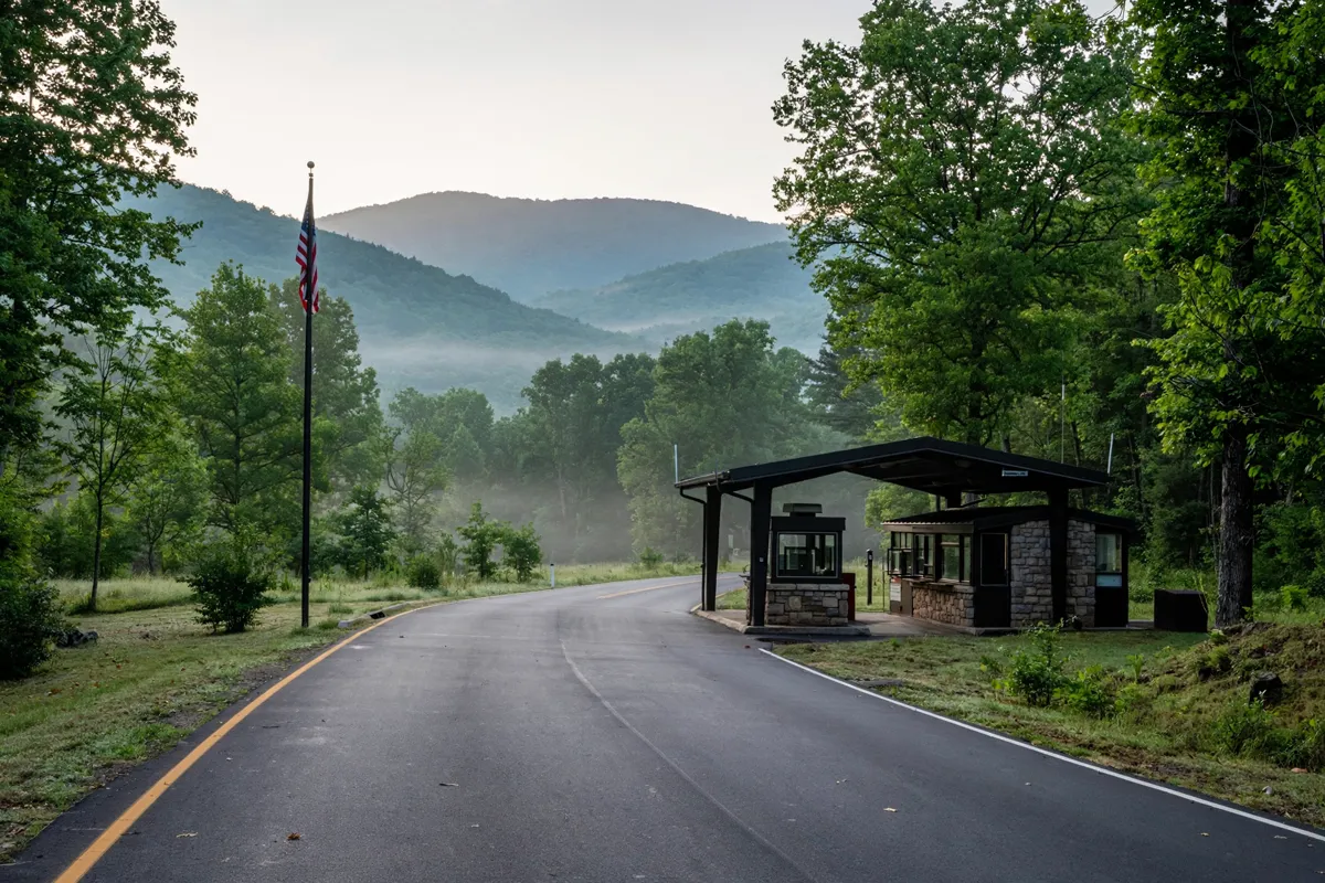
Starting Skyline Drive near Front Royal
The Front Royal Entrance Station is the northern entrance to Skyline Drive, at mile 0 near Route 340 and I-66 in Front Royal, Virginia. From the Washington, D.C. metro area, the National Park Service directs drivers west on I-66 to Front Royal, then south on Route 340, following signs for Shenandoah National Park and Skyline Drive.
Skyline Drive is the only public road through Shenandoah National Park. It runs 105 miles north to south along the crest of the Blue Ridge Mountains, making the Front Royal entrance a natural starting point for a longer park drive or a shorter out-and-back outing.
A broader Shenandoah National Park visit guide from Front Royal puts the drive in the context of a park visit.
How should you plan the drive?
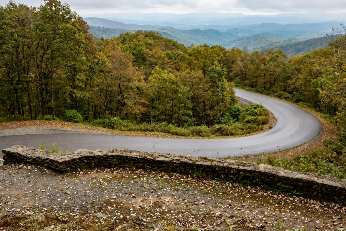
Plan Skyline Drive around your turnaround point: the full 105-mile drive takes about three hours on a clear day, before any stops. If you have less time, you can still enter at Front Royal and travel partway along the ridge before returning by the same entrance.
Road conditions shape the timing. The speed limit is 35 mph, and conditions often call for slower driving. Weather can vary across the park’s roughly 100-mile span, and the mountain is usually 10°F cooler than the valley below. Allow for slower progress and bring clothing suited to changing temperatures.
Before setting off with a recreational vehicle, camping trailer, or horse trailer, account for Marys Rock Tunnel at mile 32.2. Its maximum clearance is 12 feet 8 inches in both lanes; the National Park Service advises drivers with tall vehicles or trailers to confirm they can clear it.
For a broader day in the area, the one-day Front Royal itinerary can help you consider how the park drive fits with time in town.
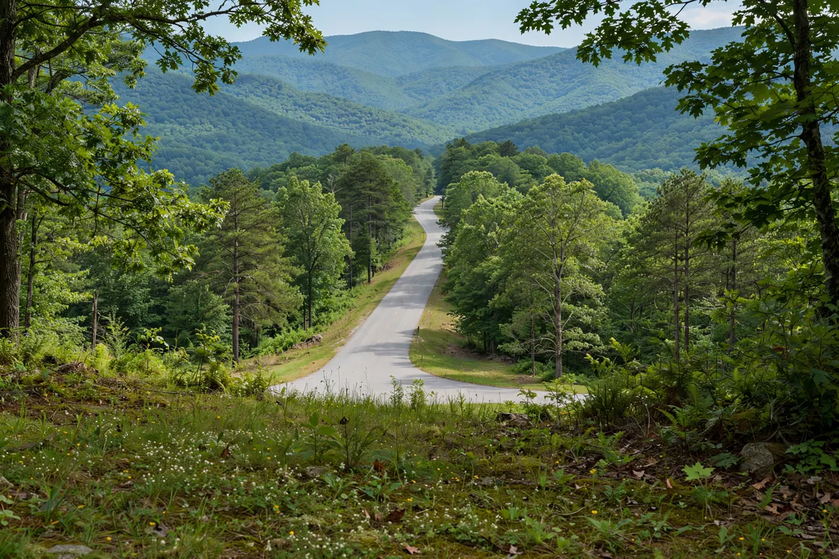
Fees, closures and road alerts
A standard entrance pass is required to enter Shenandoah National Park by vehicle or on foot. Standard-pass prices range from $15 to $30, depending on pass type; vehicle passes cover the driver and passengers. You can buy a pass at an entrance station or in advance through Recreation.gov.
The park also accepts America the Beautiful—National Parks and Federal Recreational Lands Passes, with free or discounted versions available to eligible seniors, military members, visitors with a permanent disability, and families with a fourth grader.
Shenandoah uses cashless payment for entrance and campground fees, including mobile or electronic payments; park bookstores and concession facilities accept cash. Skyline Drive is generally open around the clock, but portions can close at any time because of inclement weather.
For current closures and significant safety alerts, check the official site before you go: the National Park Service’s Alerts & Conditions page, or text SHENALERTS to 888777.
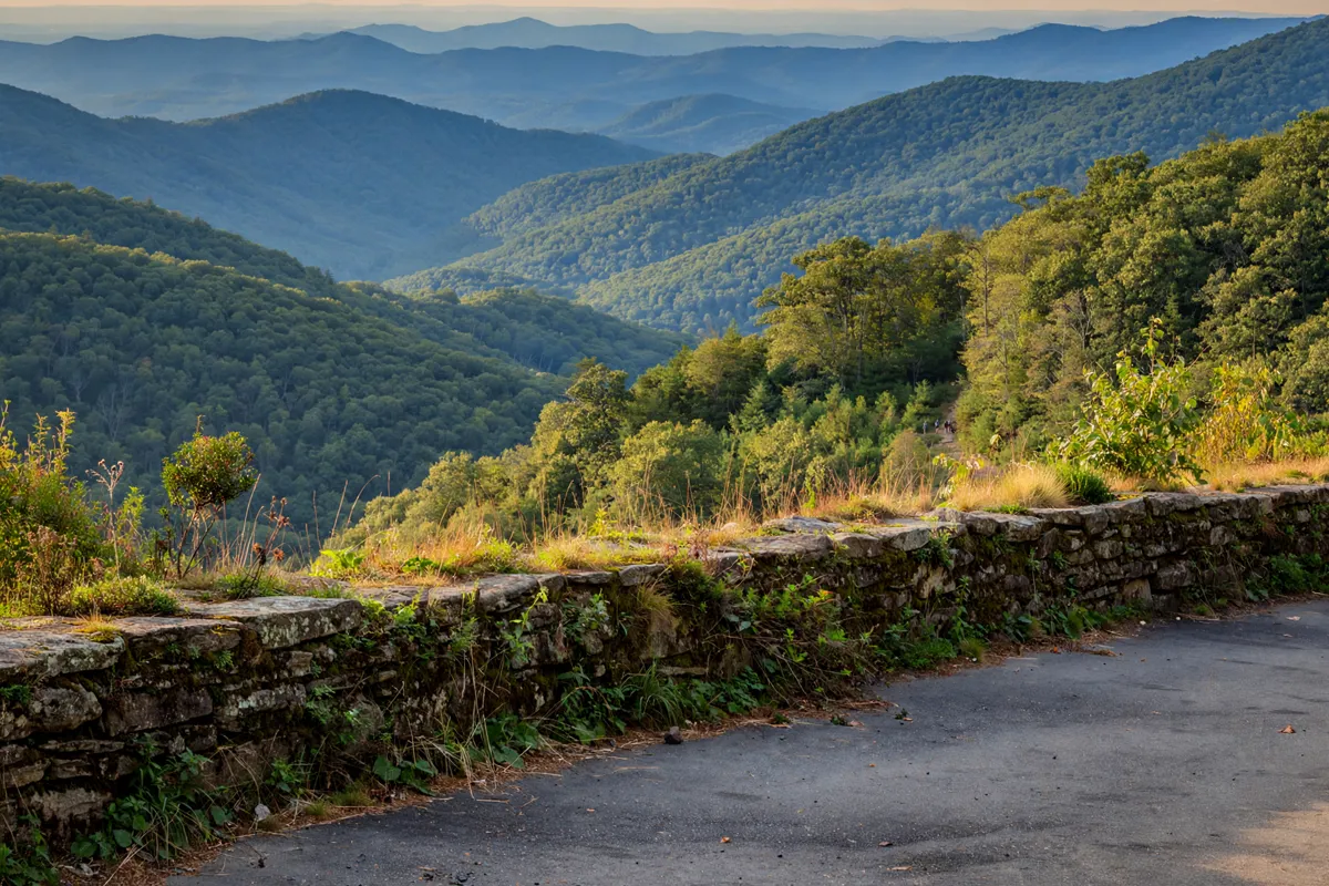
Stops and safe driving
Dickey Ridge Visitor Center, at mile 4.6 after the Front Royal entrance, is an early stop for restrooms, visitor information, a bookstore, publications, and maps. The Fox Hollow Trail trailhead is across Skyline Drive. Check current operating details before planning around the visitor center.
There is only one gas station within Shenandoah National Park, so plan fuel stops accordingly. Picnic grounds are located at Dickey Ridge at mile 4.7, Elkwallow at 24.1, Pinnacles at 36.7, Big Meadows at 51.2, Lewis Mountain at 57.5, South River at 62.8, and Dundo at 83.7.
Water is unavailable at Lewis Mountain and Dundo, where fires and grills are also not permitted.
Keep to the 35 mph speed limit or drive more slowly when conditions call for it, and stay alert for changing weather and road conditions. Checking alerts before departure helps you decide whether to continue along the drive or turn back.
FAQs
Where does Skyline Drive start near Front Royal?
The northern entrance is the Front Royal Entrance Station at mile 0, near Route 340 and I-66 in Front Royal, Virginia.
How long does it take to drive all of Skyline Drive?
The National Park Service estimates about three hours for the full 105-mile drive on a clear day. Stops and slower conditions add time.
Can Skyline Drive close because of weather?
Yes. Although the road is generally open 24 hours a day, seven days a week, sections may close at any time because of inclement weather. Check National Park Service alerts before you leave.
Do you need an entrance pass?
Yes. A standard pass is required to enter the park by vehicle or on foot. Standard-pass prices vary by type, and the park accepts America the Beautiful passes.